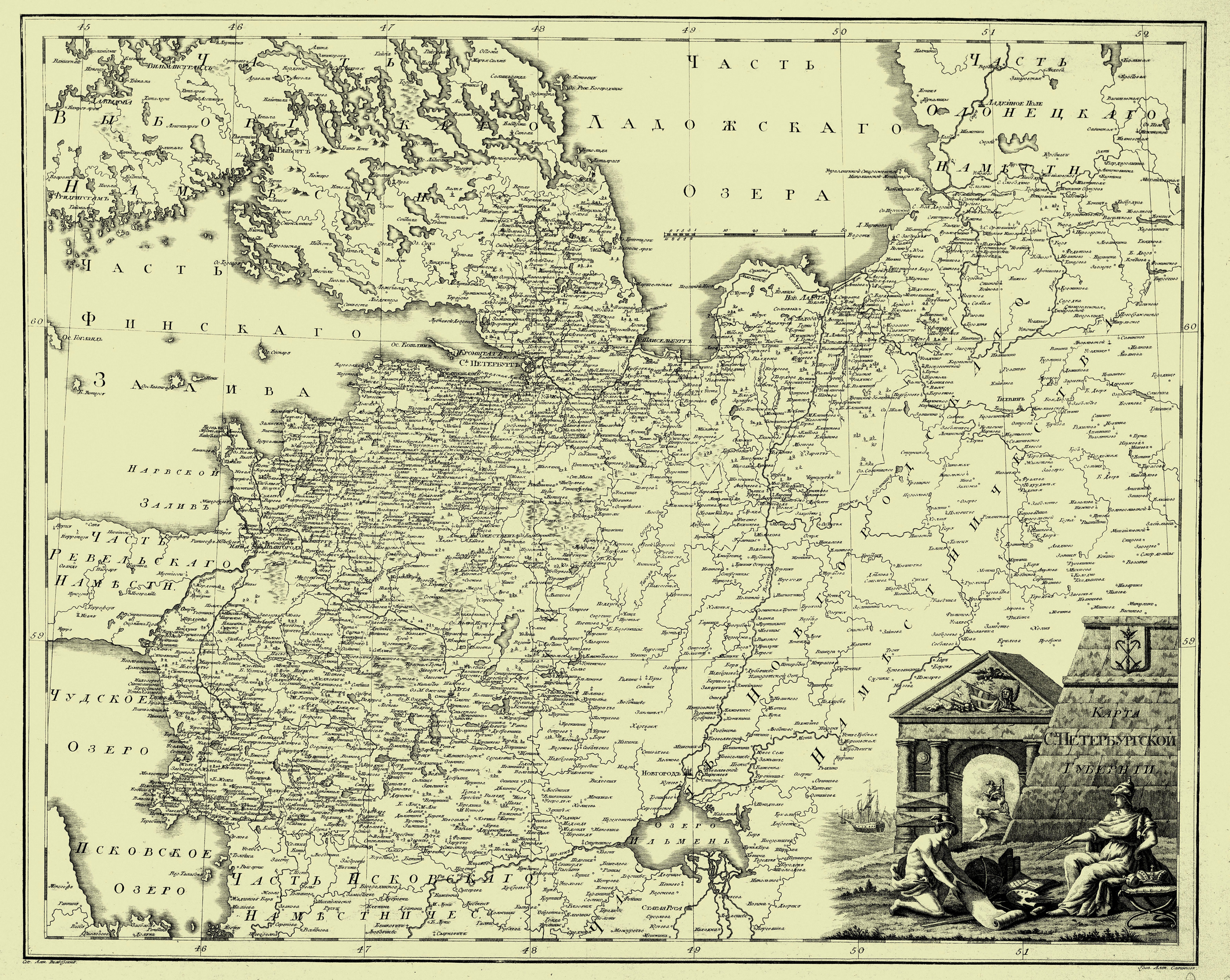
1792. Map of Saint Petersburg Governorate ”Atlas of Russia, consisting of forty four maps representing the forty two viceroyalties of the Empire”. Saint Petersburg, 1792 © Alexander Wilbrecht | ||
| Original file, 3200×2550 | ||
| First linked image Second linked image Third linked image | ||
Categories of this image: |
