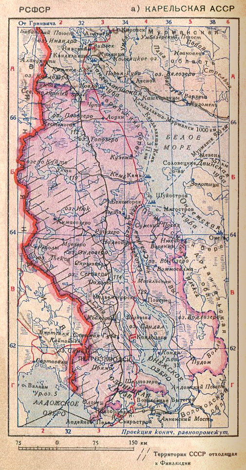
March 1, 1940. The map of Karelian ASSR The pocket atlas of the USSR, 2nd edition © Central administration for geodesy and cartography of the Council of People Commissars of USSR. Leningrad, 1940 | ||
| Original file, 505×965 | ||
| First linked image Second linked image Third linked image Fourth linked image | ||
Categories of this image: |
