Karelia is on the medieval Europe's map
The earliest known us maps of the Europe with drawn name "Carelia" were composed by Swedish Catholic bishop Olaus Magnus (1490-1558) in XVI century.

1539. Carta Marina et Descriptio Septentrionalivm
Carta Marina was issued by Magnus as wall-map in 1539. The large lake in the north-eastern corner of the map – Ladoga Lake – was united with the White Sea in whole.
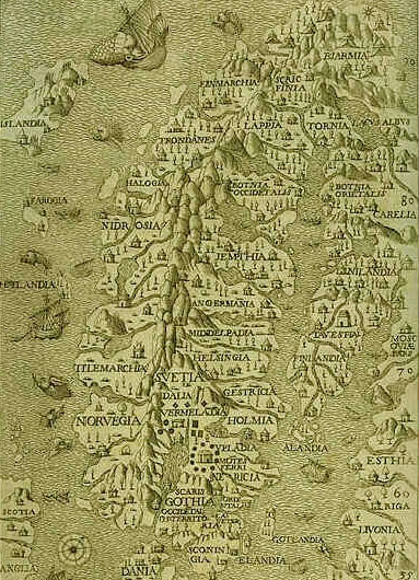
1565. Historia delle genti et della natura delle cose settentrionali
The first issue of History of Northern people (Historia Gentibus septentrionalibus) appeared in 1555. Here is a part of Magnus's map from Italian reprint of this book in 1565.
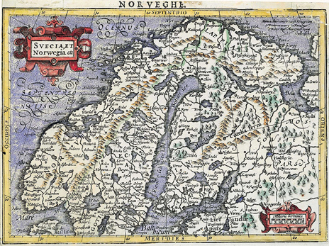
1607. Svecia, et Norwegia etc
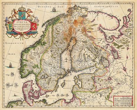
1635. Svecia, Dania, et Norgegia, Regna Europae Septentrionalia
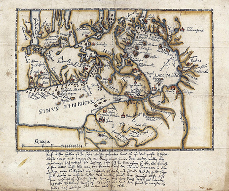
Late 1630's. General map of the regions around the Carelian Isthmus
Text by German language: ”Auss dieser Carthen ist zu sehen welchen gebrochen Land es ist und grosse Klipen bösse Wege mit Wagen das man kaum einer hinder dem andern reitten kan, derowegen hoch nottigh die Ladoga Sehe sich zu bemeistern, so kan der Feindt disser Örtter nocht thun, man kan kommen durch den Finum Sinnicum in die Ladoga gutte 6 Boijert auss Schweden geschigk mit Stücken und den gutte Scher-Bött darbeij ia besser will, reutter seindt hier wenigh Nutze; diss zum Nachricht E. Graff senden thue. Kan hierdurch defediret werden Kexholm, Nötteborch, Nieschloss, Wiborch etc. und dem Feinde zu Wasser einfallen nach Ladoga der Ortten wor man will.”

1640. Novissima Russiae tabula
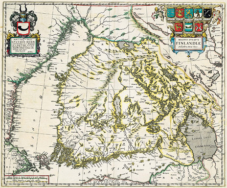
1662. Magnus ducatus Finlandiae
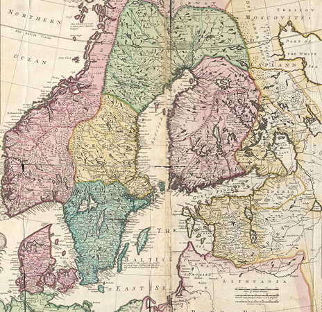
1694. New map of Denmark and Sweden

1695. Nova Scandinavia tabula ad Usum Serenissimi Burgundia
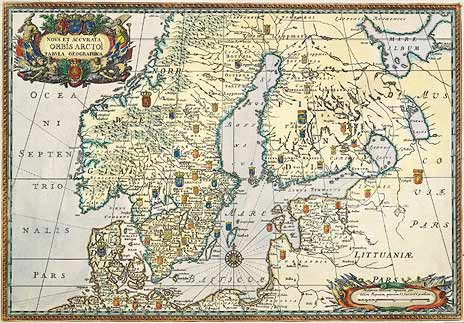
1696. Nova Et Accurata ORBIS ARCTOI tabula geographica
|